
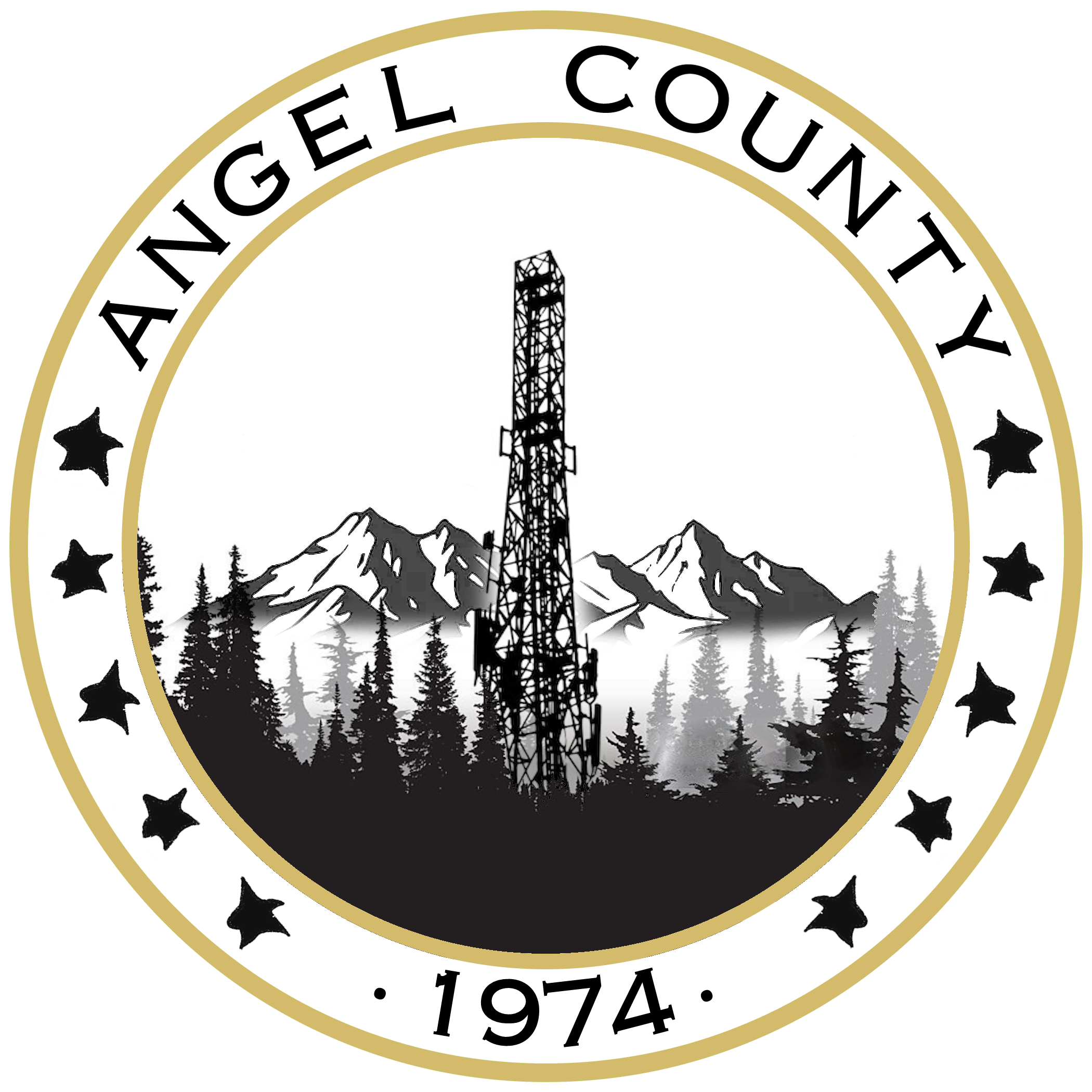
Angel County, Oregon
From Bebopedia, the free Bebcyclopedia

• Summer (DST) UTC-7 (Pacific)
Angel County is a rural county located in the interior mountain region of the Pacific Northwest.
The county seat is Signal Ridge, its largest community and administrative center. Established in 1948, Angel County is known for its extensive forest lands, fire lookout infrastructure, and small population centers connected by state highways.
History
[edit source]
Angel County was established in 1948 following the reorganization of several forest districts previously administered at the state level. Early settlement in the region was primarily tied to timber harvesting and seasonal fire watch operations.
Signal Ridge developed as a small service town for forestry personnel and highway travelers during the mid-20th century. The construction of the Signal Ridge Fire Watch Tower in the early 1960s marked the expansion of wildfire monitoring infrastructure across the county.
Throughout the late 20th century the county’s population remained relatively stable, supported by forestry work, tourism, and small local businesses.
In September 2014, a wildfire event resulted in the temporary closure of several forest areas surrounding Signal Ridge. Portions of the district remain under restricted access as of the mid-2010s
Geography
[edit source]
Angel County is characterized by mountainous terrain, dense conifer forests, and narrow river valleys. Elevations range from approximately 1,800 feet (550 m) in basin areas to over 5,000 feet (1,500 m) along the county’s eastern ridges.
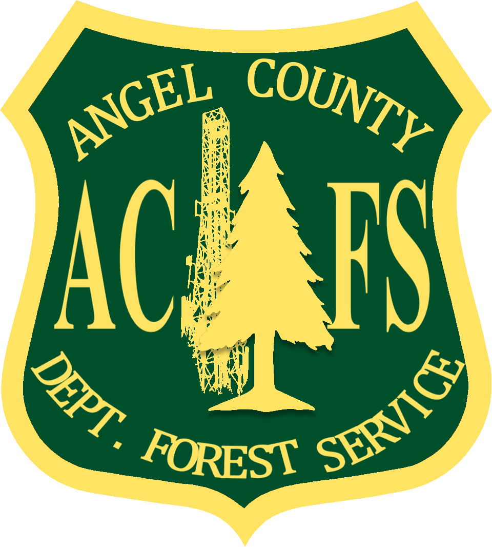
Large sections of the county fall within designated forest management districts monitored by the ACFS. Observation towers located along elevated ridges historically played a role in wildfire detection.
The region is accessible primarily by State Route 14, which connects Signal Ridge with nearby counties and rural service towns.
Communities
[edit source]
Angel County contains several small communities and unincorporated settlements.
Economy
[edit source]
The county’s economy historically centered on forestry management and timber harvesting. In recent decades, tourism and outdoor recreation have become increasingly important sources of income.
Local businesses in Signal Ridge include service stations, lodging accommodations, and community-run establishments serving highway travelers and forestry personnel.
Government
[edit source]
Angel County operates under a county commission structure headquartered in Signal Ridge. The Angel County Forest Service works in coordination with county leadership to manage public land, wildfire monitoring programs, and environmental protection initiatives.